Frequently Asked Questions
Answers to the most common questions about drone technology, aerial photography, and visual mapping.
What type of drone is recommended for beginner aerial photography?
For beginners, we recommend a drone with a stabilized camera, easy flight mode, and good battery life. Entry-level models offer good image quality and are perfect for learning the basics of panoramic photography.
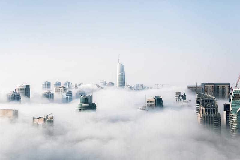
How can I use a drone for visual mapping of a terrain?
Visual mapping requires planning a systematic flight with image overlap. Specialized software processes aerial photographs to create 2D orthophoto maps or 3D models. It is essential to comply with local regulations for flying over private property.
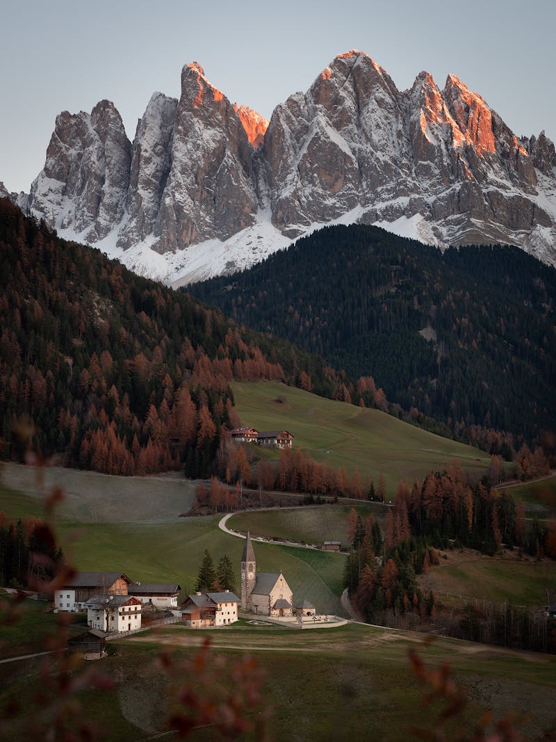
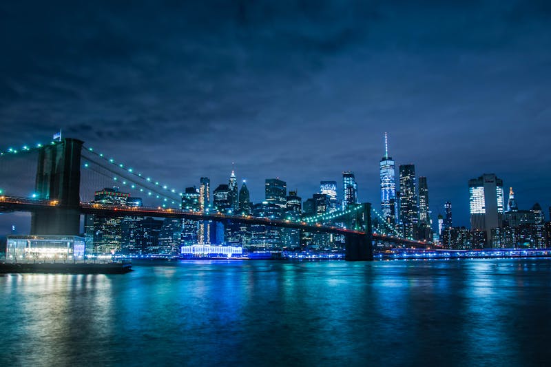
What are the most important settings for obtaining quality aerial images?
For clear images: use low ISO to reduce noise, aperture priority (A/Av) for depth of field control, and RAW format for maximum flexibility in post-processing. Ensure stabilization is enabled and take advantage of golden hours for optimal lighting.
Is a permit required to use a drone for recreational purposes in Romania?
Yes, according to AACR regulations, for recreational drone flight, operator and drone registration is required, along with compliance with altitude limits and distance from people, buildings, and restricted areas. Always check the current requirements on the authority's website.
What innovative technologies do modern drones bring to photography?
Modern drones integrate collision sensors, active subject tracking, automatic capture modes (such as panoramas and orbits), and high-definition video transmission. These facilitate the capture of creative and technical shots that were previously difficult or impossible.